Weskeag Marsh
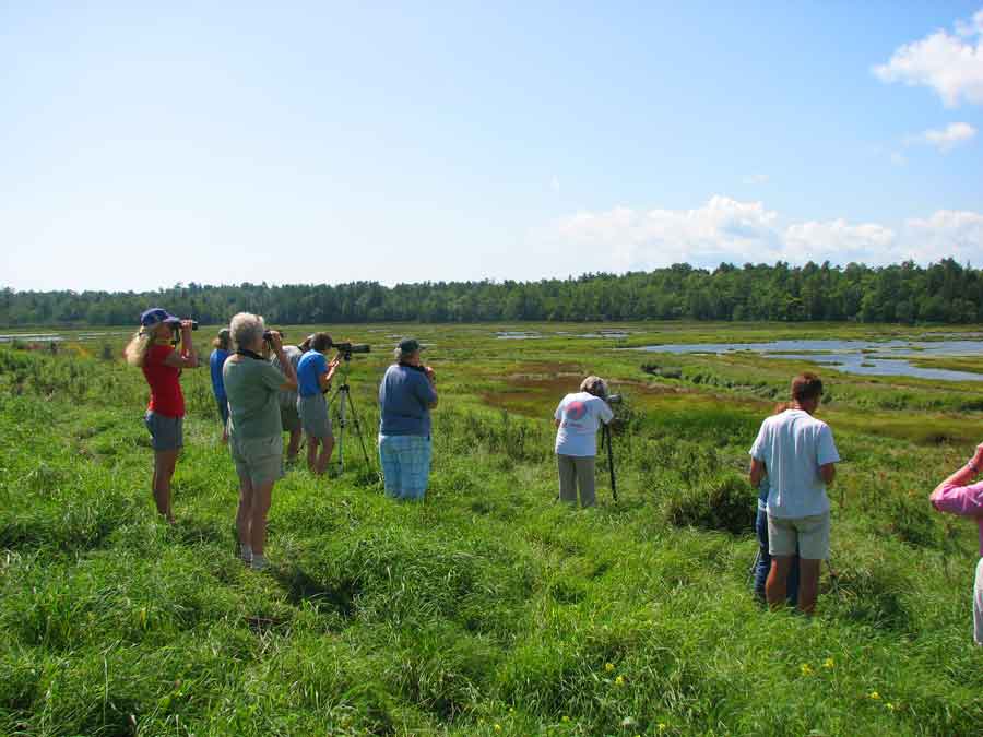
Weskeag Marsh in South Thomaston is one of Maine’s best birding marshes. The marsh is a mix of salt, brackish, and freshwater habitat. It is a mix of cattails and grass. It is a mix of potholes and mud flats. It is a mix of brook, stream, and river. It is bordered by forest, scrubland, and hayfields. In short, it contains a good variety of habitats in its 1300 acres. The state manages 632 of these acres as the R. Waldo Tyler Wildlife Management Area. Weskeag Marsh is noted for waders, waterfowl and shorebirds, primarily from ice-out in late March through October. It is the northernmost site where the breeding ranges of Nelson’s and Saltmarsh Sparrows overlap, though the former is seen more often.
A general view of the marsh can be enjoyed from the small parking area where Buttermilk Lane crosses the Weskeag flowage. Some of the potholes are close enough to distinguish the Greater Yellowlegs from the Lesser. The marsh suffers from excess visitation, and birders should avoid tramping into the wetland areas. It is usually possible to locate the Nelson’s Sparrows where the stream crosses under the main road. The adjacent slopes of the hayfield provide good views, and one walking path leads to a viewing platform. A short distance farther south on Buttermilk Road – just up the hill, by a copse of trees and old foundation – there is another distant overlook for the marsh. Egrets and herons are often in the back of the marsh and can be seen more readily from here.
Directions: From Route 1 in Thomaston, turn onto Buttermilk Road and in 0.8 miles look for the parking turnout at the marsh.
114 Buttermilk Ln
South Thomaston, ME 04858
South Thomaston, ME 04858
GPS: 44.079030, -69.141694