The Piscataquis County Soil & Water Conservation District Demonstration Forest is well hidden and lightly used in the woods of Williamsburg west of Brownville Junction. The 180-acre tract is managed to demonstrate varying forestry practices, which also account for the bird diversity. In breeding season, it is loud with eastern wood- pewees, least and yellow-bellied flycatchers, and an abundance of blackburnian and black-throated blue warblers. Hermit thrush and veery are species to be expected in the northern forest, but wood thrush has been noted near the parking area.
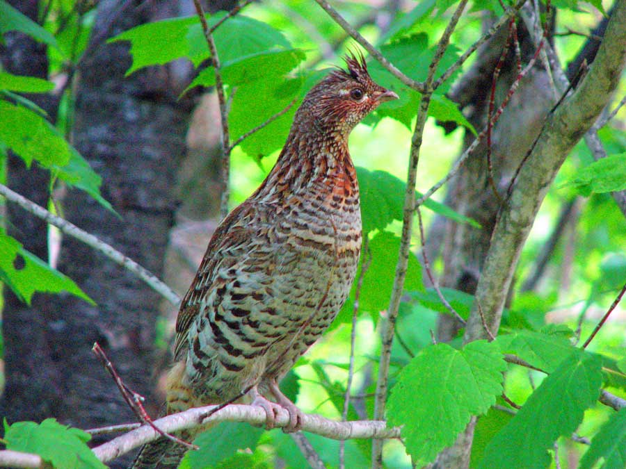
Several loop trails run through different habitats, the first of which is the Shelter Wood Trail. Initially, it traverses sparse pine woods, but there is a dense, coniferous stand on the back side that regularly produces a ruffed grouse.
The Canyon Trail (and the Plantation Loop and Larson Loops beyond) run through elevation changes that sometimes put hikers at eye level with canopy birds. Scarlet tanagers and red-eyed vireos prefer the tops of these mature, deciduous stands, while ovenbirds may be found around the forest floor.
Directions: From I-95, take exit 199 in Alton and follow Route 16 to Milo. Turn right onto Route 11 and follow to Brownville. Turn left onto High Street and continue north past the Moses Greenleaf monument along the Williamsburg Road. After the road turns to dirt and passes several mobile homes, the forest is 0.6 miles ahead across Penobscot Indian land, marked by a large sign. From the north in Brownville Junction, turn west onto Van Horne Road, then right onto Williamsburg Road.
Brownville, ME 04414
GPS: 45.369215, -69.089107